File list
Jump to navigation
Jump to search
This special page shows all uploaded files.
| Date | Name | Thumbnail | Size | User | Description | Versions |
|---|---|---|---|---|---|---|
| 10:03, 5 October 2017 | Example3.jpg (file) |  |
1.03 MB | Muwaffaq Al-Awad | 1 | |
| 09:46, 5 October 2017 | Example1.jpg (file) |  |
5.83 MB | Muwaffaq Al-Awad | 1 | |
| 08:36, 5 October 2017 | Example.jpg (file) |  |
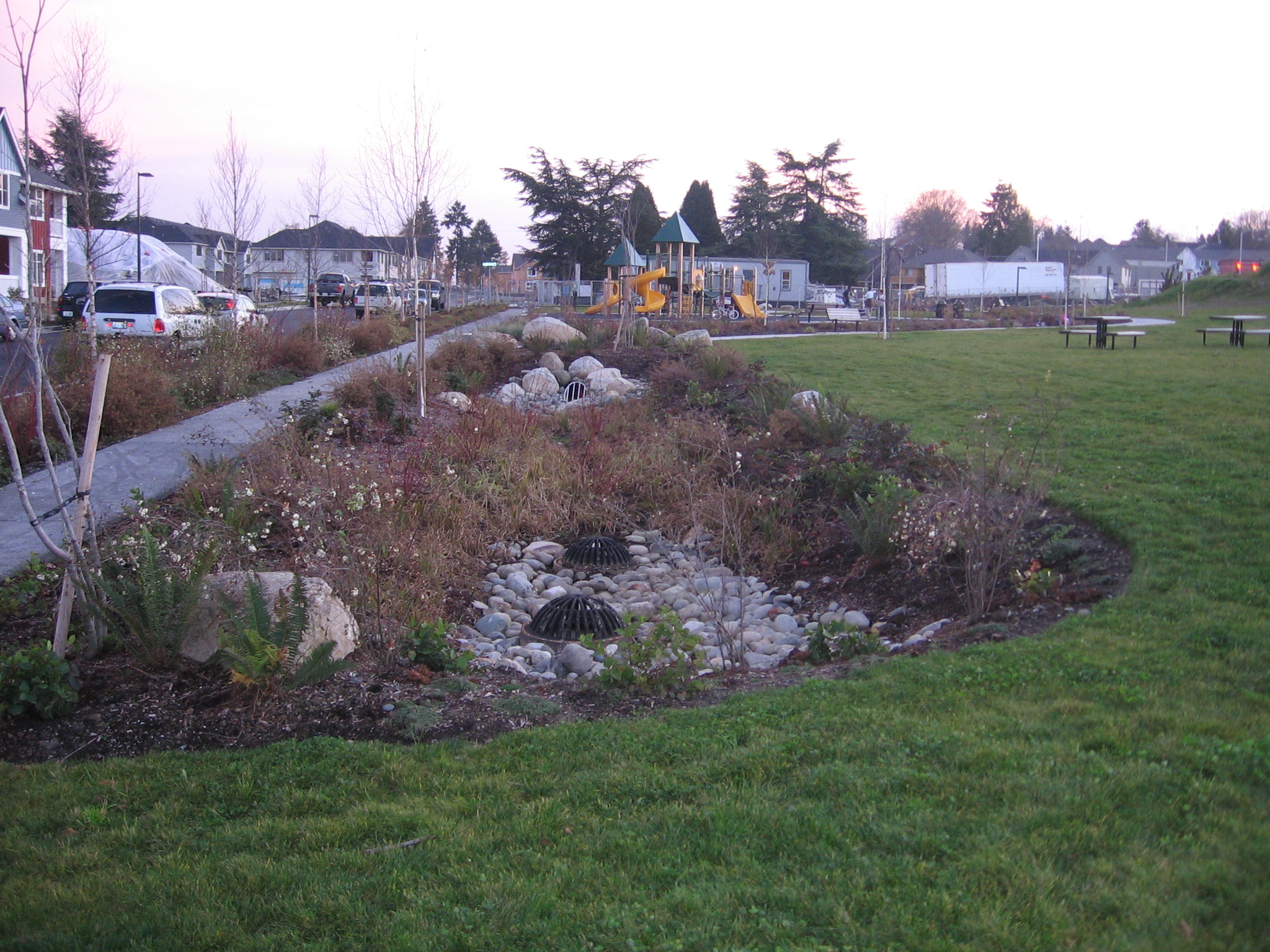
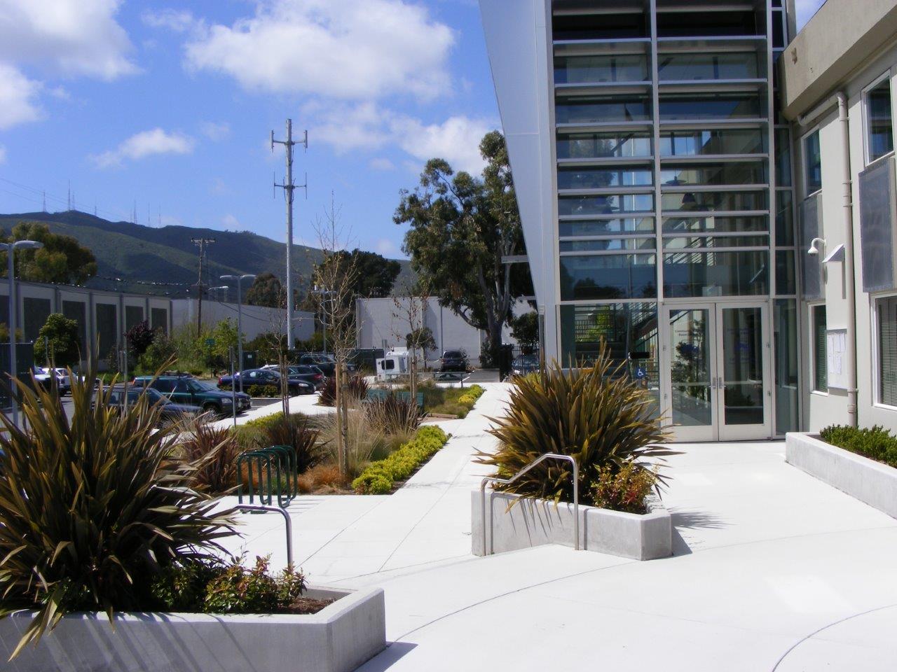
1.03 MB | Muwaffaq Al-Awad | The bioretention area installed at O’Connor Park in Mississauga is part of a stormwater management system that treats parking lot runoff prior to discharging to a local wetland. (Source: CVC) | 1 |
| 13:34, 2 October 2017 | IMAX Stone Inlet.jpeg (file) |  |
6.04 MB | Alexveglio | 1 | |
| 12:31, 2 October 2017 | Kenollie Rain Garden.jpeg (file) |  |
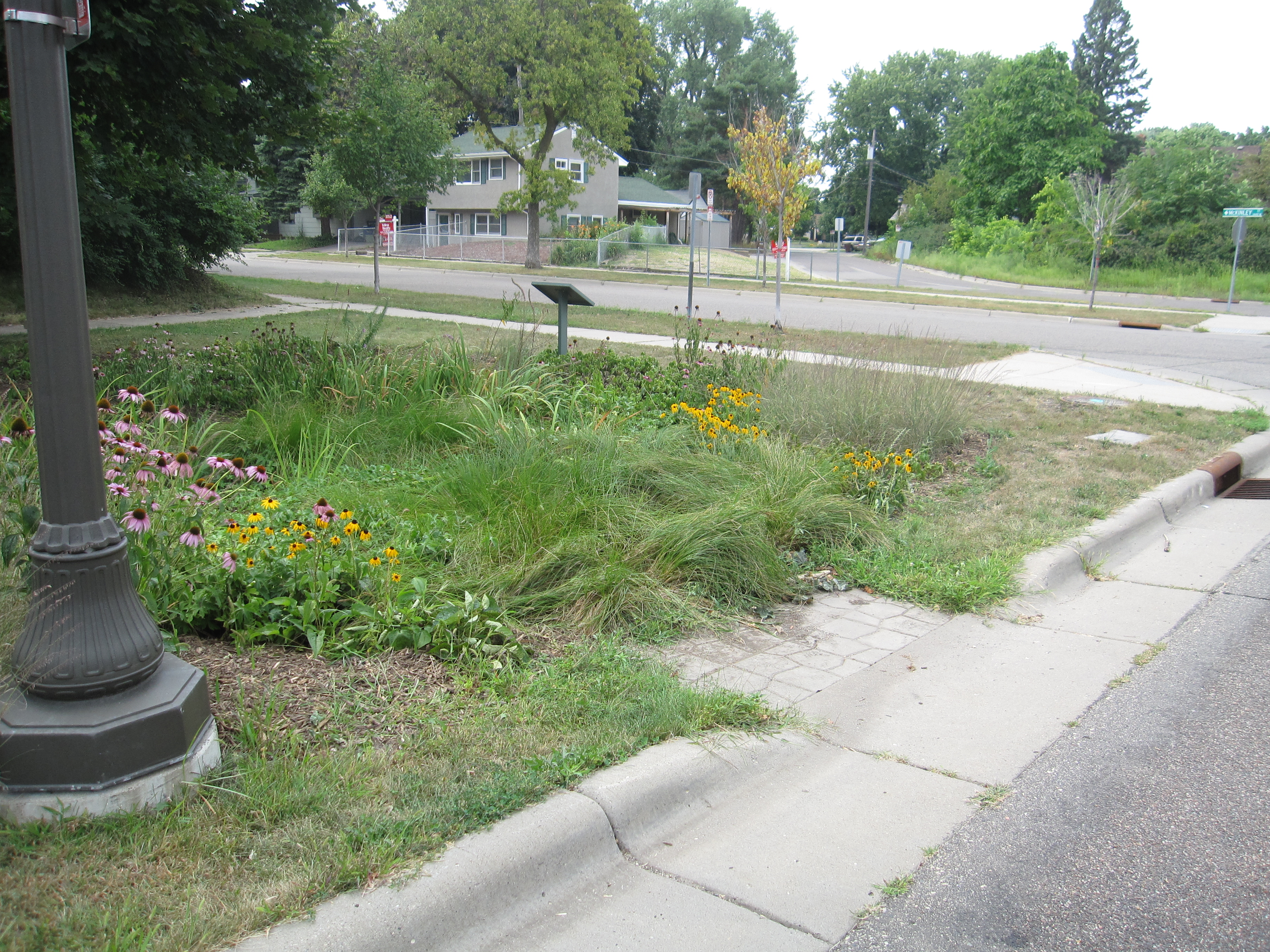
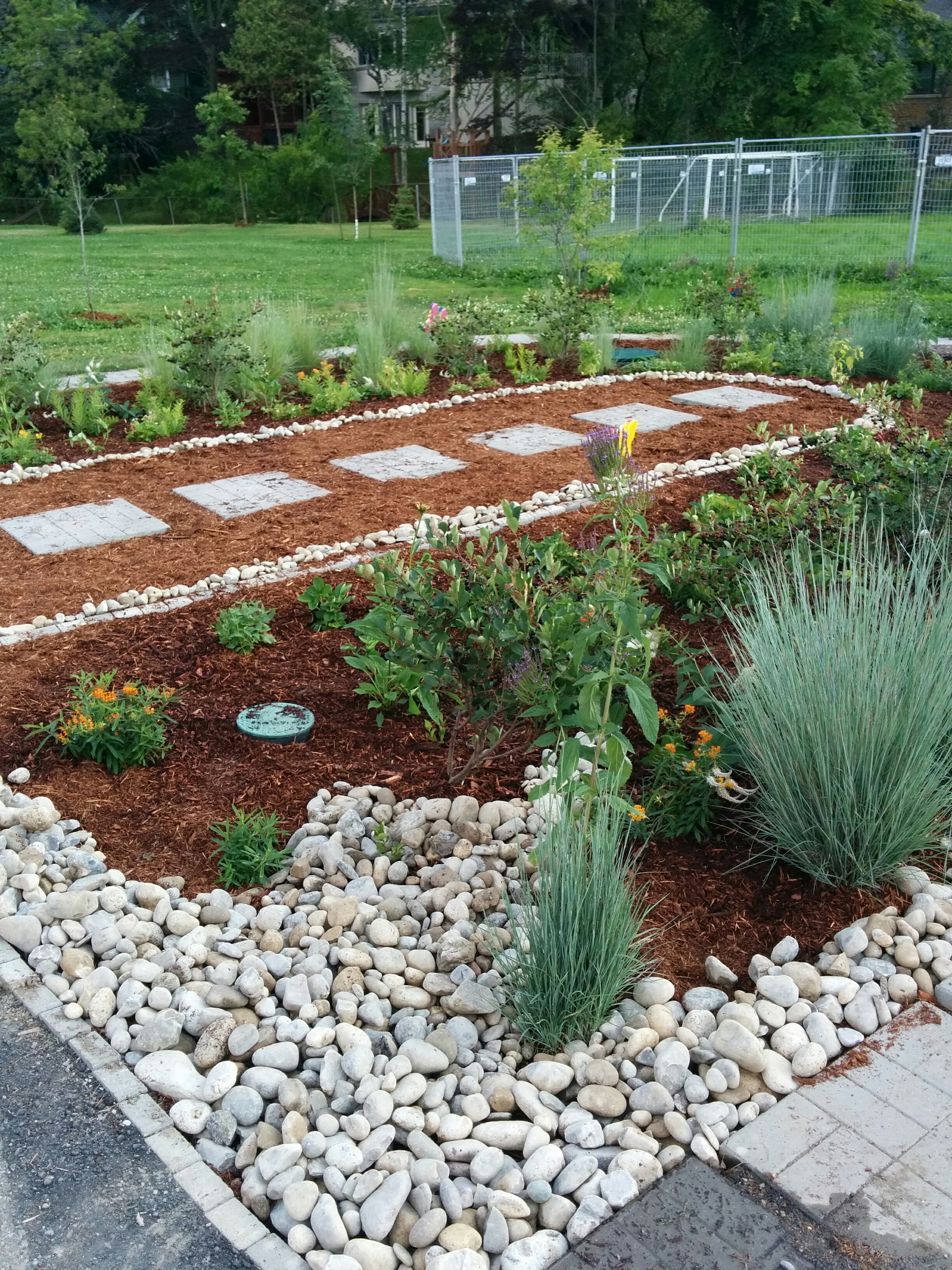
3.39 MB | Alexveglio | Kenollie P.S. Rain Garden after a maintenance event. | 1 |
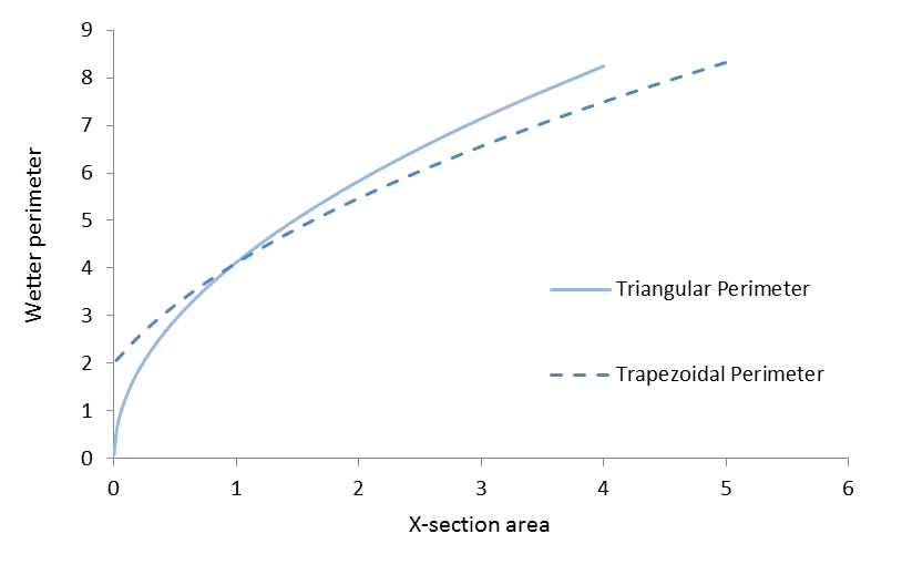
| 10:12, 29 September 2017 | Pond curves.png (file) |  |
29 KB | Jenny Hill | 2 | |
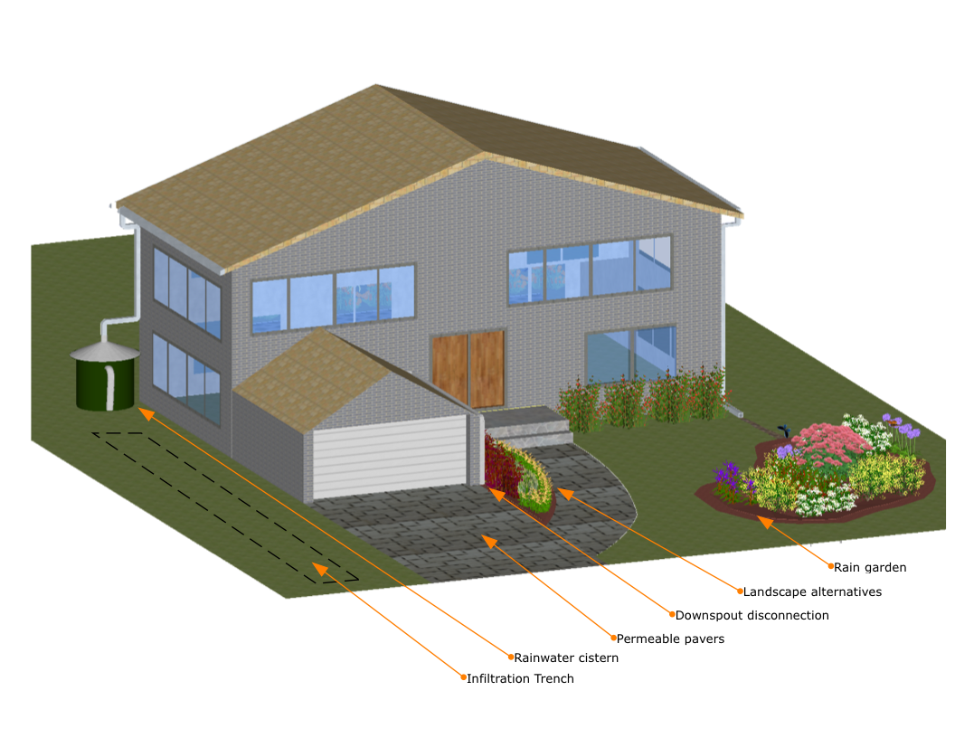
| 14:05, 27 September 2017 | House Figure 1.png (file) |  |
804 KB | JakubW | 1 | |
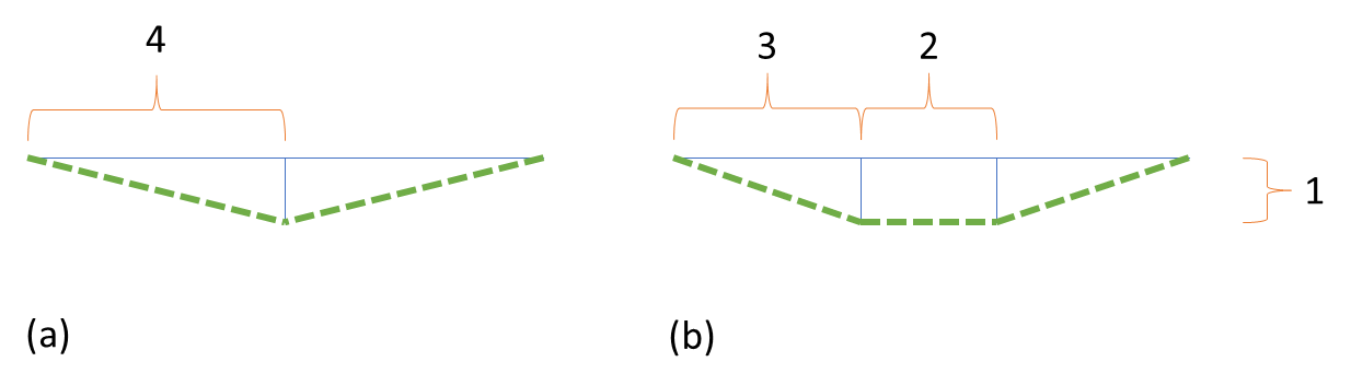
| 12:41, 27 September 2017 | Sections perimeters.png (file) |  |
15 KB | Jenny Hill | 1 | |
| 09:48, 27 September 2017 | Best X-section.png (file) |  |
12 KB | Jenny Hill | 1 | |
| 13:49, 26 September 2017 | Institutional Options.png (file) |  |
620 KB | JakubW | 1 | |
| 13:40, 26 September 2017 | LID options for light industrial sites.png (file) |  |
432 KB | JakubW | 1 | |
| 13:28, 26 September 2017 | Small Commercial Sites Options.png (file) |  |
453 KB | JakubW | 1 | |
| 13:12, 26 September 2017 | Large Commercial Options.png (file) |  |
533 KB | JakubW | 1 | |
| 12:57, 26 September 2017 | Low Rise Options.png (file) |  |
354 KB | JakubW | 1 | |
| 12:32, 26 September 2017 | High Rise Mid Rise Options.png (file) |  |
515 KB | JakubW | 1 | |
| 09:23, 26 September 2017 | Main Streets Cross Section.png (file) |  |
293 KB | JakubW | 1 | |
| 09:17, 26 September 2017 | Major Arterial Cross Section.png (file) |  |
367 KB | JakubW | 1 | |
| 09:12, 26 September 2017 | Minor Arterial Road Cross Section.png (file) |  |
322 KB | JakubW | 1 | |
| 09:09, 26 September 2017 | Industrial Collector Cross Section.png (file) |  |
365 KB | JakubW | 1 | |
| 08:27, 26 September 2017 | Local Industrial Road Cross Section.png (file) |  |
337 KB | JakubW | 1 | |
| 08:24, 26 September 2017 | Residential Collector Cross Section.png (file) |  |
344 KB | JakubW | 1 | |
| 13:14, 25 September 2017 | Local Residential Road Urban Cross-section.png (file) |  |
285 KB | KyleVDL | 1 | |
| 10:38, 25 September 2017 | Local Residential Road Rural Cross-section.png (file) |  |
258 KB | KyleVDL | 1 | |
| 10:00, 25 September 2017 | LSRCA salt workshop results.pdf (file) | 1.81 MB | Admin | 1 | ||
| 14:52, 21 September 2017 | LIDTTT.png (file) |  |
879 KB | KyleVDL | 1 | |
| 13:15, 20 September 2017 | Gravel diaphragm.png (file) |  |
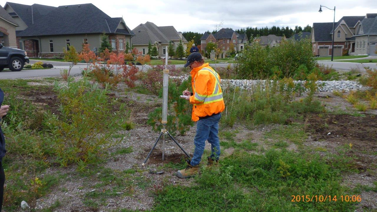
248 KB | Jenny Hill | Installation by AquaforBeech | 1 |
| 12:14, 20 September 2017 | Infiltration Testing 2.jpeg (file) |  |
397 KB | JakubW | 1 | |
| 12:10, 20 September 2017 | Infiltration Testing 1.jpeg (file) |  |
233 KB | JakubW | 1 | |
| 11:24, 20 September 2017 | Kortright parking.jpg (file) |  |
453 KB | Jenny Hill | 1 | |
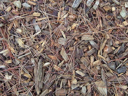
| 09:42, 20 September 2017 | Wood chip mulch.jpg (file) |  |
107 KB | Alanav | By Rowan Adams (Own work) [CC BY-SA 4.0 (http://creativecommons.org/licenses/by-sa/4.0)], via Wikimedia Commons | 1 |
| 14:58, 18 September 2017 | LID TTT.png (file) |  |
4 KB | Jenny Hill | 1 | |
| 10:23, 18 September 2017 | Outfall TTT.png (file) |  |
5 KB | Jenny Hill | 1 | |
| 09:45, 18 September 2017 | Sub TTT.png (file) |  |
13 KB | Jenny Hill | 1 | |
| 09:18, 18 September 2017 | Storage TTT.png (file) |  |
5 KB | Jenny Hill | 1 | |
| 09:10, 18 September 2017 | Weir TTT.png (file) |  |
4 KB | Jenny Hill | resized | 2 |
| 09:07, 18 September 2017 | Swale TTT.png (file) |  |
6 KB | Jenny Hill | 1 | |
| 07:36, 18 September 2017 | TTT menu.PNG (file) | 38 KB | Jenny Hill | 1 | ||
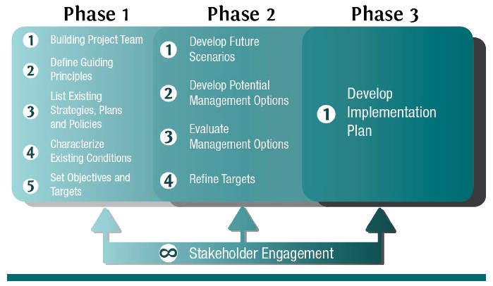
| 16:15, 17 September 2017 | Sustainability Planning Roadmap.jpg (file) |  |
56 KB | BillyTLID | The roadmap to completing a water sustainability plan. (Source: CVC) | 1 |
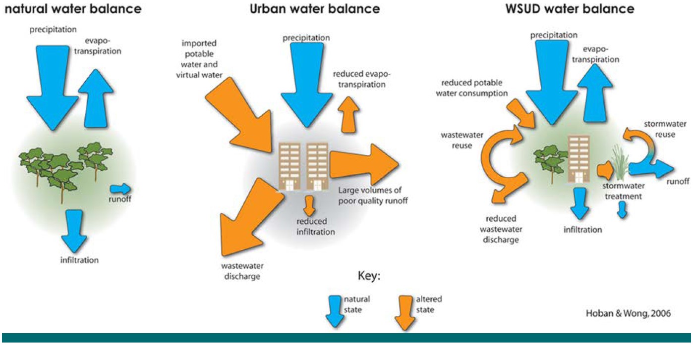
| 16:15, 17 September 2017 | Hoban and Wong.jpg (file) |  |
130 KB | BillyTLID | Changes in the relative magnitude of various hydrologic pathways resulting from land use and water management decisions. (Image credit: Healthy Waterways) | 1 |
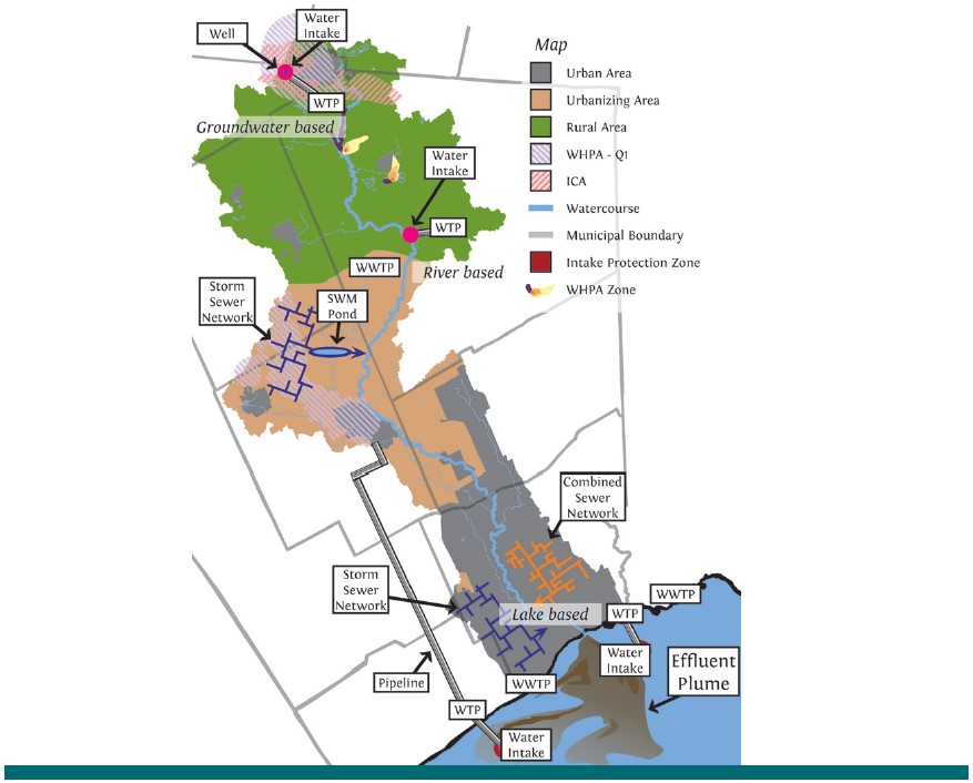
| 16:14, 17 September 2017 | Credit River Concept.jpg (file) |  |
89 KB | BillyTLID | A conceptual image depicting a Lake Ontario watershed demonstrates that the watershed scale reveals the connections between different water management activities, and their reliance on shared water resources. The figure depicts a scenario where storm s... | 1 |
| 12:19, 15 September 2017 | Bioretention Planters 1.jpeg (file) |  |
178 KB | JakubW | 1 | |
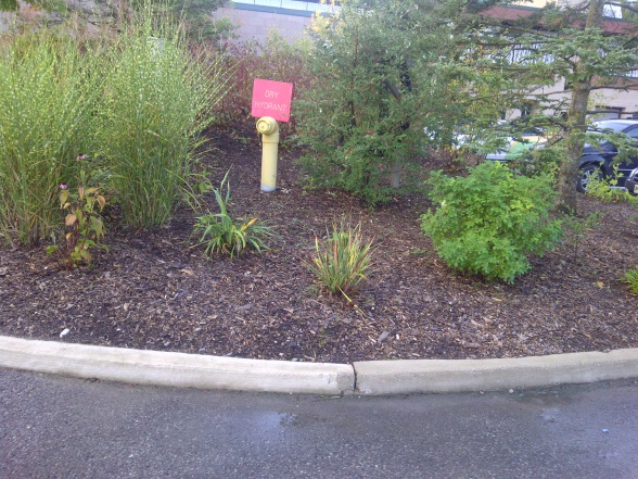
| 12:16, 15 September 2017 | Dry Hydrant.jpeg (file) |  |
152 KB | JakubW | 1 | |
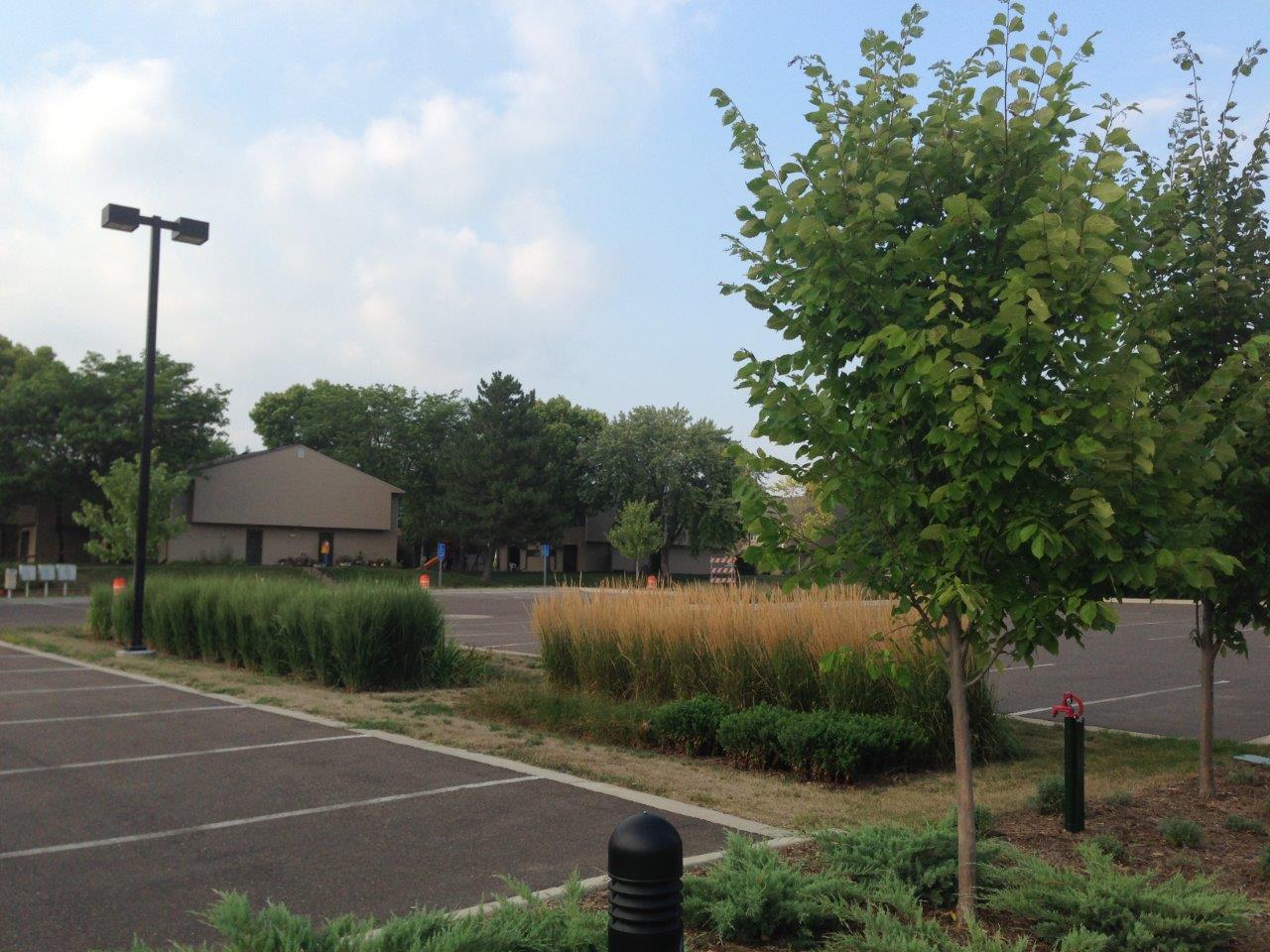
| 12:15, 15 September 2017 | Bioretention Parking Lot 1.jpeg (file) |  |
191 KB | JakubW | 1 | |
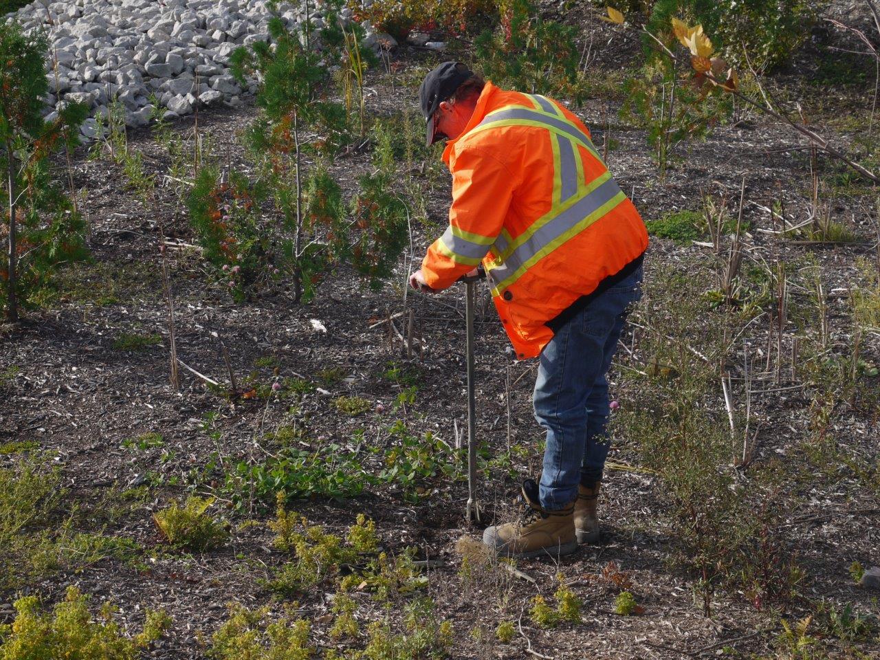
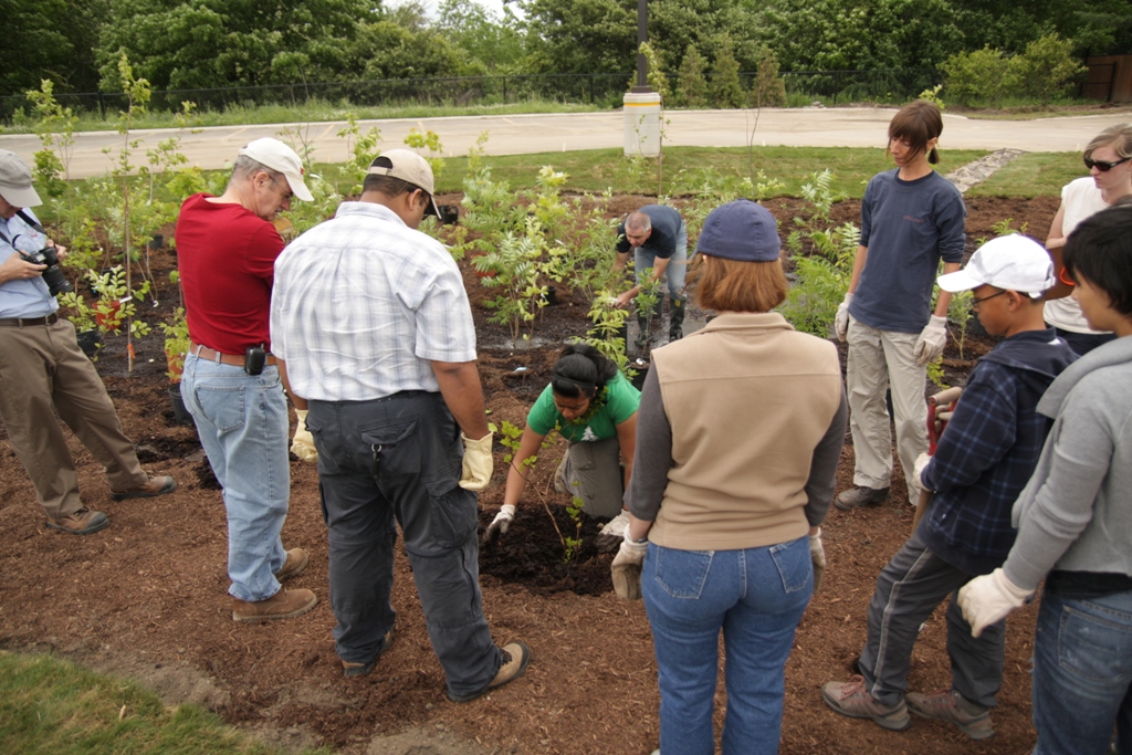
| 10:14, 15 September 2017 | Bioretention People Standing.jpeg (file) |  |
456 KB | JakubW | 1 | |
| 10:07, 15 September 2017 | Site Conditions Road Right of Way Cover.jpg (file) |  |
746 KB | KyleVDL | 1 | |
| 08:34, 15 September 2017 | Site Conditions ROW2.jpg (file) |  |
905 KB | KyleVDL | 1 | |
| 08:28, 15 September 2017 | Site Conditions ROW.jpg (file) |  |
877 KB | KyleVDL | 1 | |
| 14:33, 14 September 2017 | PhilJames.jpg (file) |  |
724 KB | Pjames | 1 | |
| 12:19, 14 September 2017 | Kyle Vander Linden.jpg (file) |  |
152 KB | KyleVDL | 1 | |
| 14:07, 12 September 2017 | PorousAsphaltParkingLot.png (file) |  |
84 KB | Muwaffaq Al-Awad | 1 |