Uploads by Jenny Hill
Jump to navigation
Jump to search
This special page shows all uploaded files.
| Date | Name | Thumbnail | Size | Description | Versions |
|---|---|---|---|---|---|
| 10:48, 6 November 2017 | Hydraulic radius.png (file) | 3 KB | 2 | ||
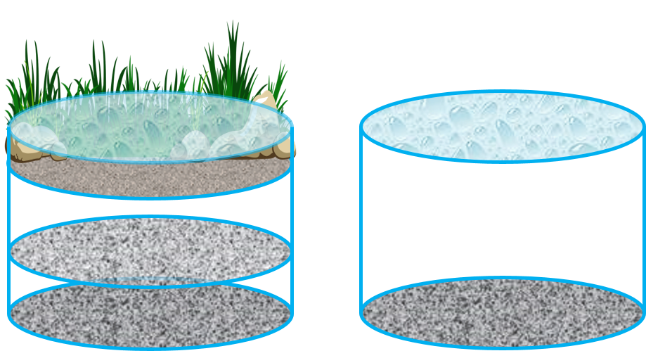
| 10:34, 6 November 2017 | Sizing bio1.png (file) |  |
408 KB | 1 | |
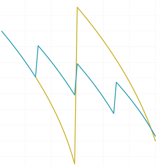
| 16:56, 2 November 2017 | Asset sawtooth.png (file) |  |
18 KB | 1 | |
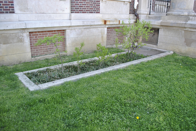
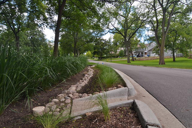
| 16:25, 2 November 2017 | Planter PWD.jpg (file) |  |
233 KB | at Waterview Rec Center | 1 |
| 16:21, 2 November 2017 | Queen Lane2.jpeg (file) |  |
270 KB | Stormwater Bump-Out on Queen Lane2 2013 Louis Cook for PWD | 1 |
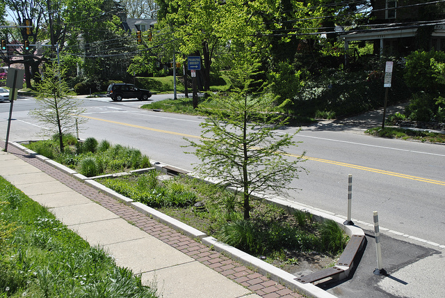
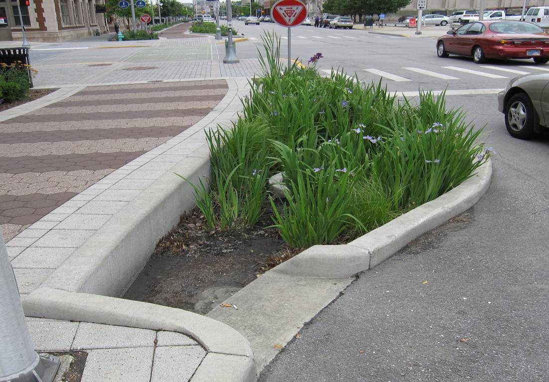
| 16:18, 2 November 2017 | INbumpout.jpg (file) |  |
234 KB | Vegetated curb extensions collecting runoff from street in downtown Indianapolis, IN (Source: CVC) | 1 |
| 16:05, 2 November 2017 | BradleyRdoverflow.jpg (file) |  |
220 KB | 1 | |
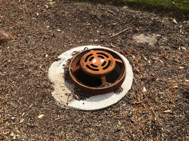
| 15:03, 2 November 2017 | BeehiveGrate.jpeg (file) |  |
302 KB | Beehive | 1 |
| 12:29, 31 October 2017 | Bioretention cell.png (file) |  |
1.12 MB | 2 | |
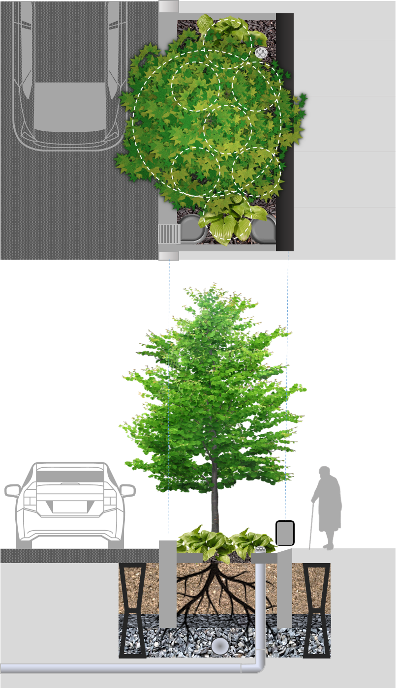
| 12:17, 31 October 2017 | Extended tree pit.png (file) |  |
1.05 MB | 3 | |
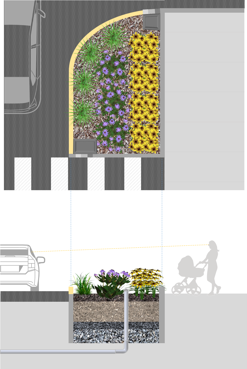
| 16:05, 30 October 2017 | Curb extension.png (file) |  |
881 KB | 2 | |
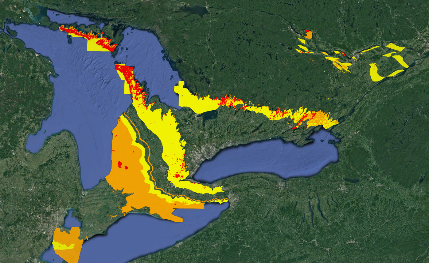
| 12:13, 17 October 2017 | Karstification.PNG (file) |  |
2.59 MB | Generated from data within Ontario Ministry of Northern Development and Mines. Karst. https://www.mndm.gov.on.ca/en/mines-and-minerals/applications/ogsearth/karst. Published 2017. Accessed October 17, 2017 | 1 |
| 12:35, 10 October 2017 | PP IWS.gif (file) |  |
484 KB | 1 | |
| 11:12, 29 September 2017 | Pond curves.png (file) |  |
29 KB | 2 | |
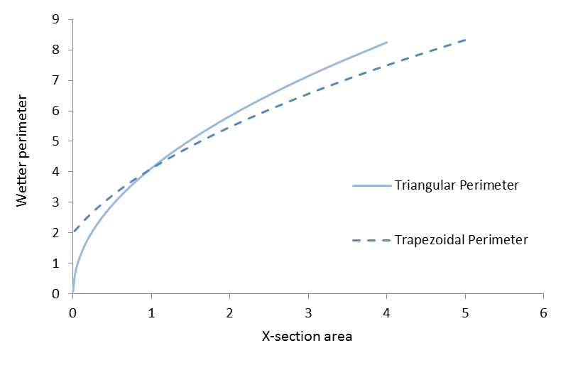
| 13:41, 27 September 2017 | Sections perimeters.png (file) |  |
15 KB | 1 | |
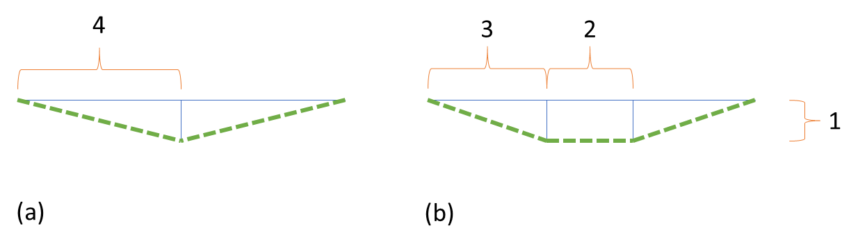
| 10:48, 27 September 2017 | Best X-section.png (file) |  |
12 KB | 1 | |
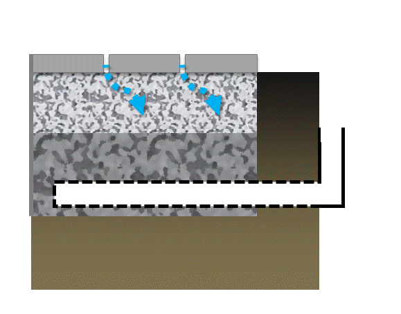
| 14:15, 20 September 2017 | Gravel diaphragm.png (file) |  |
248 KB | Installation by AquaforBeech | 1 |
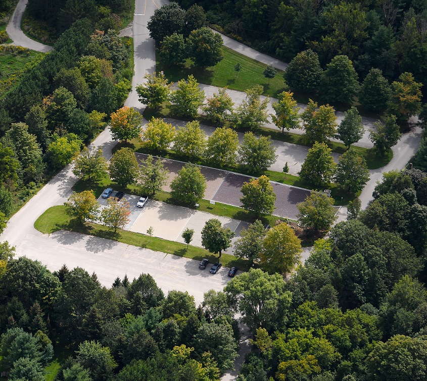
| 12:24, 20 September 2017 | Kortright parking.jpg (file) |  |
453 KB | 1 | |
| 15:58, 18 September 2017 | LID TTT.png (file) |  |
4 KB | 1 | |
| 11:23, 18 September 2017 | Outfall TTT.png (file) |  |
5 KB | 1 | |
| 10:45, 18 September 2017 | Sub TTT.png (file) |  |
13 KB | 1 | |
| 10:18, 18 September 2017 | Storage TTT.png (file) |  |
5 KB | 1 | |
| 10:10, 18 September 2017 | Weir TTT.png (file) |  |
4 KB | resized | 2 |
| 10:07, 18 September 2017 | Swale TTT.png (file) |  |
6 KB | 1 | |
| 08:36, 18 September 2017 | TTT menu.PNG (file) | 38 KB | 1 | ||
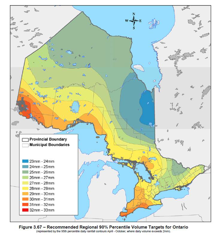
| 21:03, 7 September 2017 | 90th percentile.png (file) |  |
580 KB | 1 | |
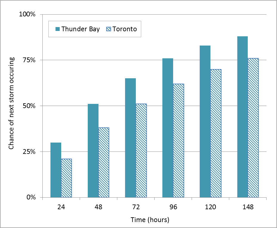
| 10:47, 7 September 2017 | Thunder Bay and Toronto.png (file) |  |
39 KB | 1 | |
| 10:05, 7 September 2017 | Interevent times.PNG (file) |  |
207 KB | 1 | |
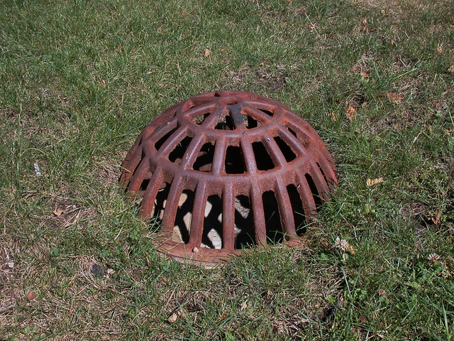
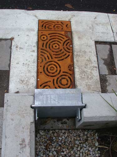
| 10:32, 5 September 2017 | Grateandgate.jpg (file) |  |
26 KB | 1 | |
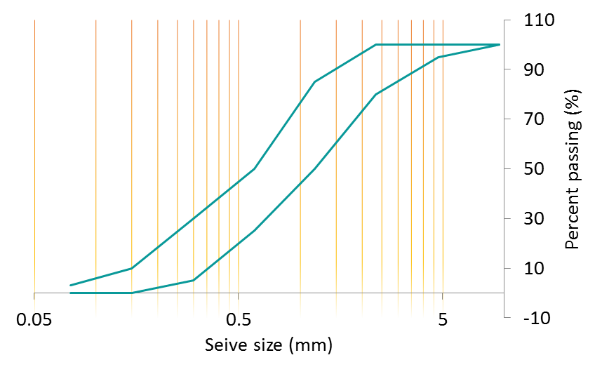
| 12:59, 21 August 2017 | PSD sand.png (file) |  |
31 KB | 1 | |
| 15:43, 16 August 2017 | TTT.png (file) | 30 KB | 1 | ||
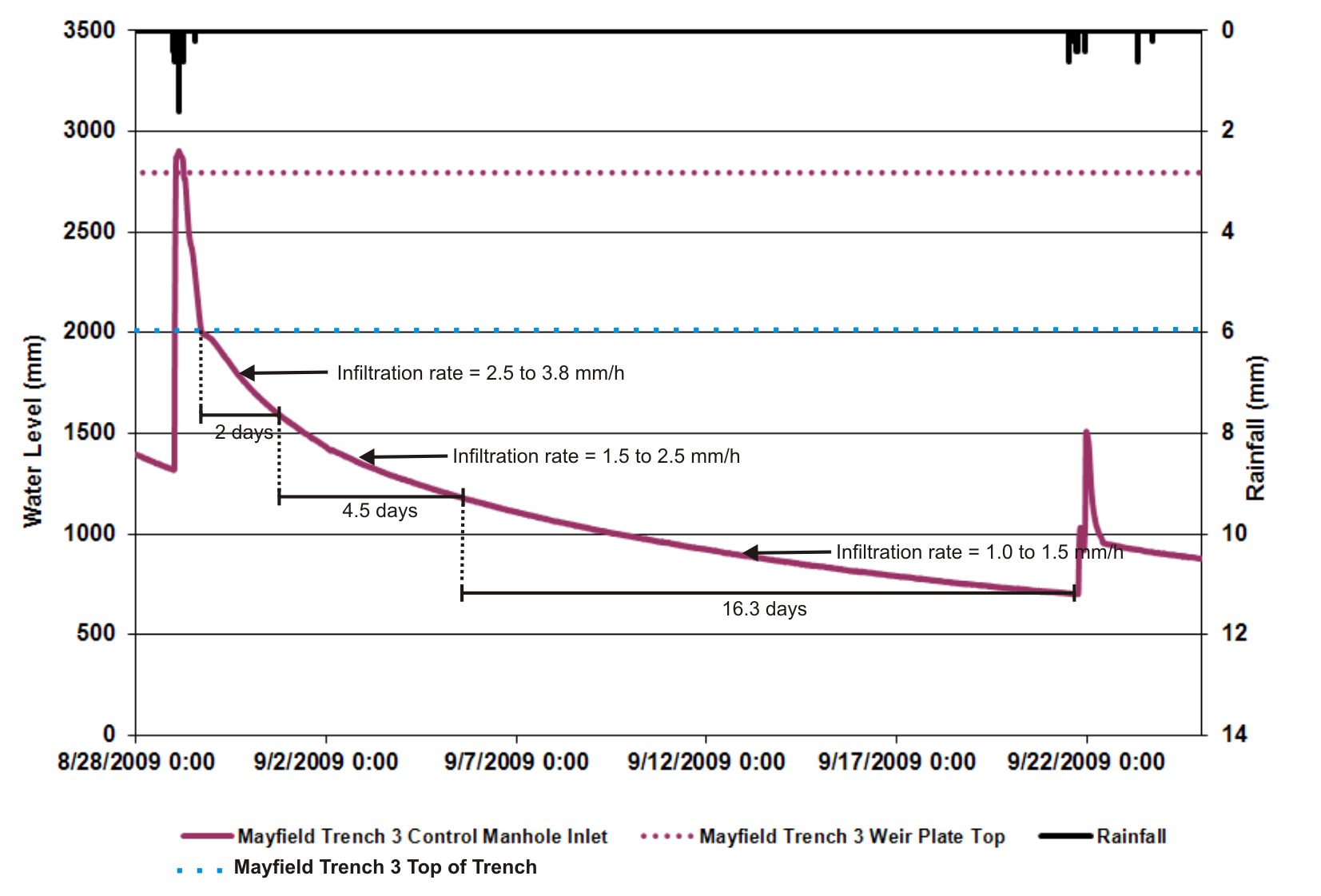
| 18:43, 14 August 2017 | Caledon infiltration.png (file) |  |
360 KB | Mayfield Trench #3 drainage time during an August 2009 storm event | 1 |
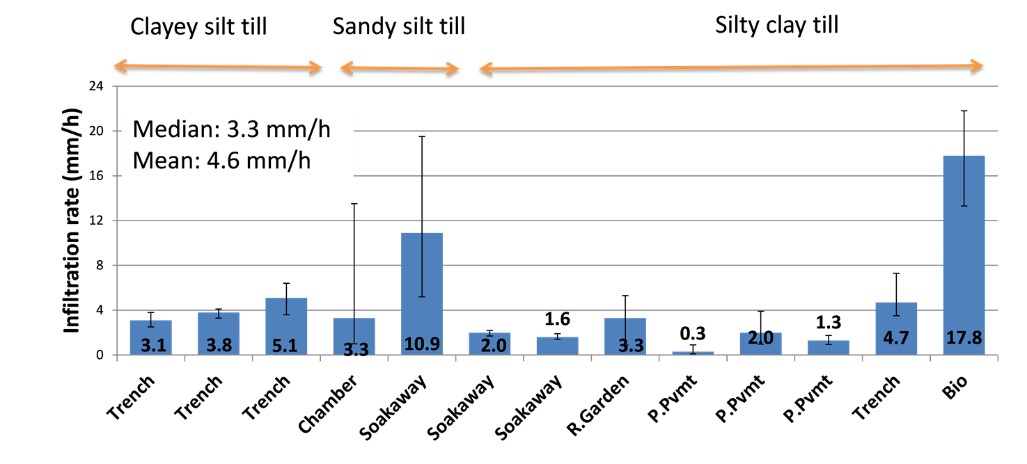
| 18:11, 14 August 2017 | Infiltration rates studies.png (file) |  |
96 KB | 2 | |
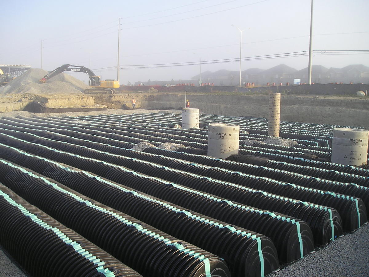
| 19:27, 9 August 2017 | Cultec infiltration chamber.jpg (file) |  |
199 KB | 1 | |
| 14:32, 4 August 2017 | STEP cropped.jpg (file) |  |
132 KB | 3 | |
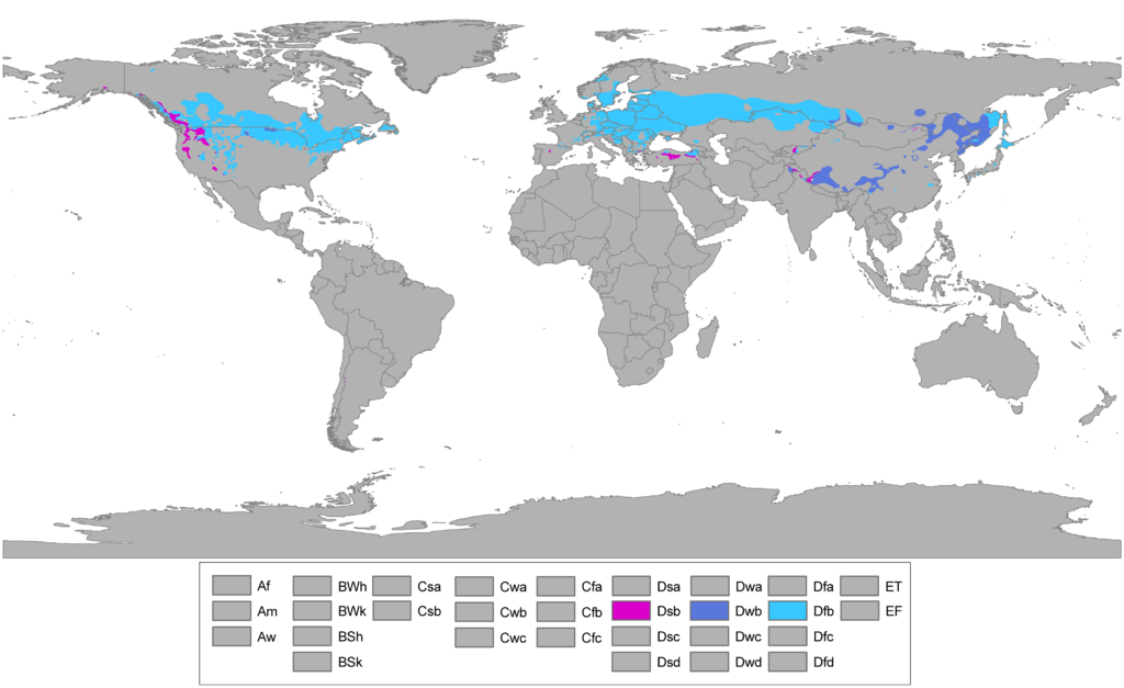
| 11:01, 3 August 2017 | Dfb.png (file) |  |
204 KB | 1 | |
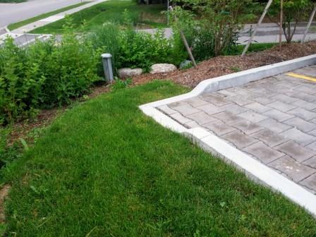
| 09:55, 17 July 2017 | LSRCA curb.jpg (file) |  |
42 KB | 2 | |
| 09:41, 13 July 2017 | Forebays.png (file) |  |
99 KB | 1 | |
| 16:40, 12 July 2017 | Infiltration Sizing.xlsx (file) | 15 KB | 2 | ||
| 11:32, 12 July 2017 | Forebay AV.jpg (file) |  |
150 KB | https://www.flickr.com/photos/87297882@N03/7996215719/in/album-72157631558235320/ | 1 |
| 11:23, 12 July 2017 | Curb cut AV.jpg (file) |  |
146 KB | https://www.flickr.com/photos/87297882@N03/22493570094/in/dateposted/ | 1 |
| 10:29, 12 July 2017 | Bioretention CNT.jpg (file) |  |
257 KB | https://www.flickr.com/photos/centerforneighborhoodtechnology/14655073746 | 1 |
| 10:19, 12 July 2017 | Curb cut CNT.jpg (file) |  |
174 KB | https://www.flickr.com/photos/centerforneighborhoodtechnology/14674879081 | 1 |
| 08:40, 12 July 2017 | ER Bioretention.jpg (file) |  |
1.5 MB | 1 | |
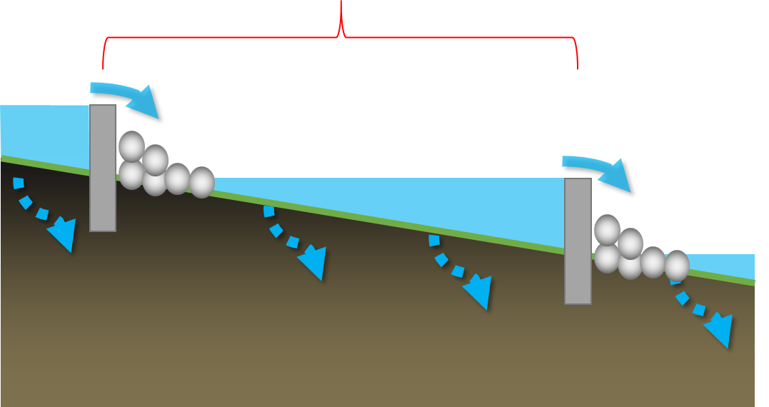
| 18:26, 11 July 2017 | Check dams.png (file) |  |
55 KB | 4 | |
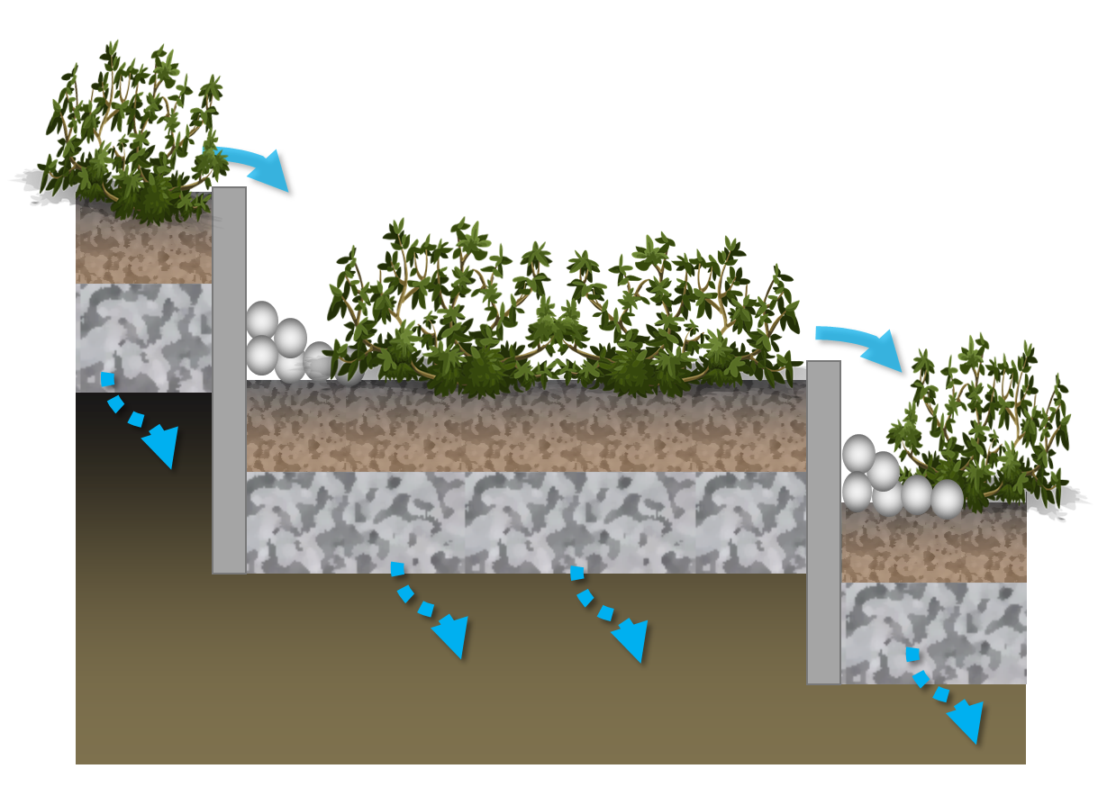
| 16:42, 11 July 2017 | Stepped cells.png (file) |  |
635 KB | 1 | |
| 16:42, 11 July 2017 | Bioswale.png (file) |  |
681 KB | 1 | |
| 11:14, 11 July 2017 | Sandy Bioretention Soil Mix.jpg (file) |  |
2 MB | 1 | |
| 10:42, 11 July 2017 | Routing.png (file) |  |
35 KB | 1 | |
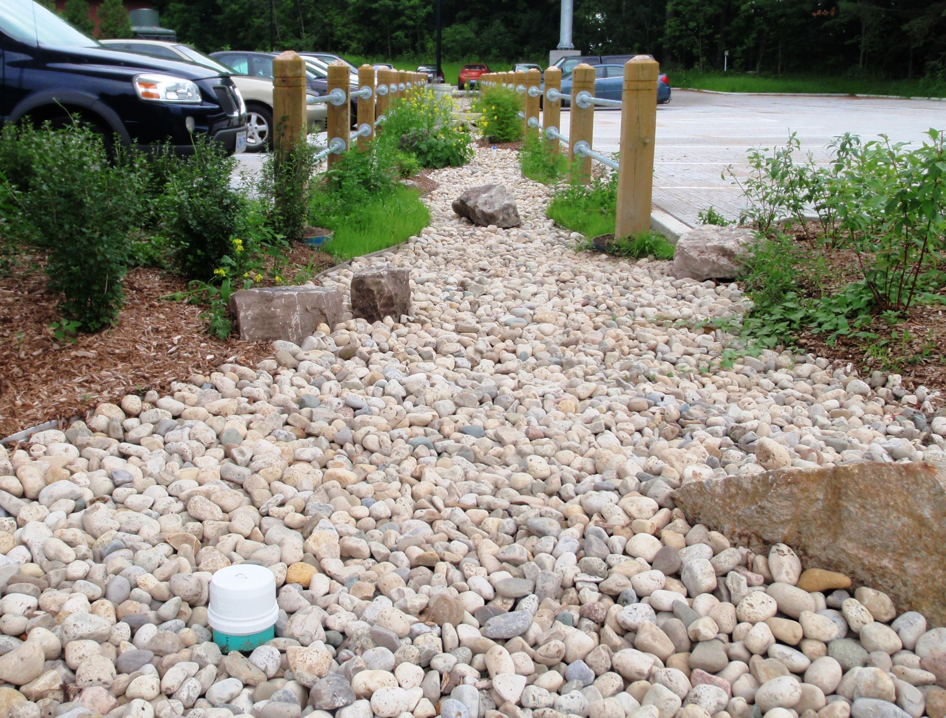
| 15:59, 10 July 2017 | Infiltration trench.png (file) |  |
291 KB | 1 |